One of the latest and greenest development inside Bonifacio Global City (BGC) is the Greenway Park which is slated to be the longest linear park in Metro Manila. Join me as we take a quick tour of the park in photos.
(14°33′18.8″N 121°02′31.4″E)
BGC has always been my favorite place to run and when I heard that there’d be an additional green space being developed, I was really excited. The explosive growth of the area meant that a lot of the empty spaces where we used to be able to run had become construction sites or is now filled with vehicles so new spaces are always welcome.
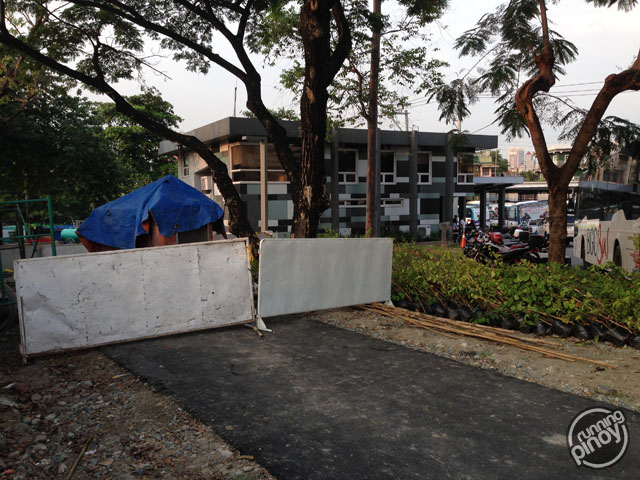
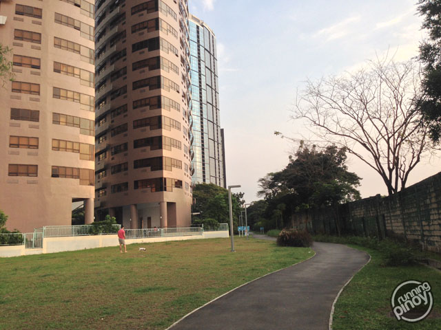
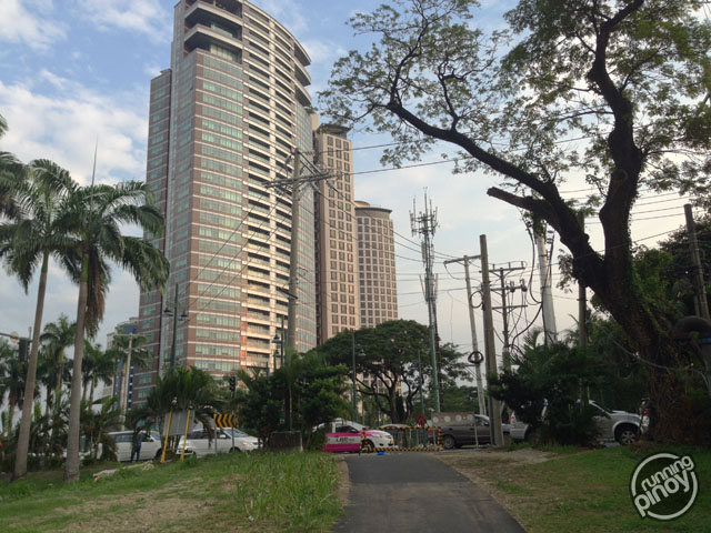
The Greenway Park lies on the western side of BGC along its boundary with Manila Golf Club. It used to be just some empty, unused space but thankfully Fort Bonifacio Development Corporation (FBDC) decided to make much better use of this land by converting it into a park. The park currently stretches from the 31st Street at the northern end of BGC to McKinley Road, just behind Fairways Towers. According to The Fort City, the Greenway Park would continue across the road reaching all the way to the southern tip of BGC, a little ahead of Essensa 2. As of now, there’s nothing but construction works across the road.
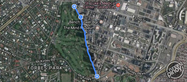
Since the Greenway Park is expected to be the longest linear park in Metro Manila, I decided to measure how long it is, as it is now. And as a runner, you can always expect that I’ll measure it on foot, by running, with a GPS device. And I decided to start on the northern end as this is the part of BGC I haven’t really been to.
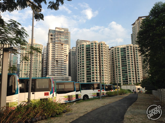
You’d never know that the other end of the park exists in this area as there’s nothing but buses here, but the curious side of me kept looking until I finally found the park’s pathway.
From here, I followed the asphalt pathway (by running of course) all the way to the southern end. I had some brief stops along the way as I tried catching some Pokémon (and there’s a sweet spot in there where a lot of them hang out!) and so I suspect that my GPS reading may be inaccurate. And so just to be sure, I went to the southern tip of the pathway and ran non-stop all the way to the northern end (with Pokémon GO out of the way) to take another measurement of the park pathway’s length. My GPS reading stands at 1.2 kilometers.
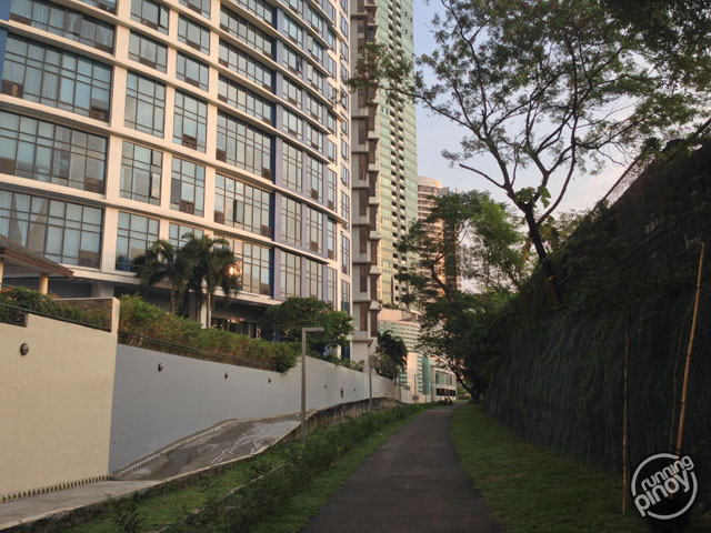
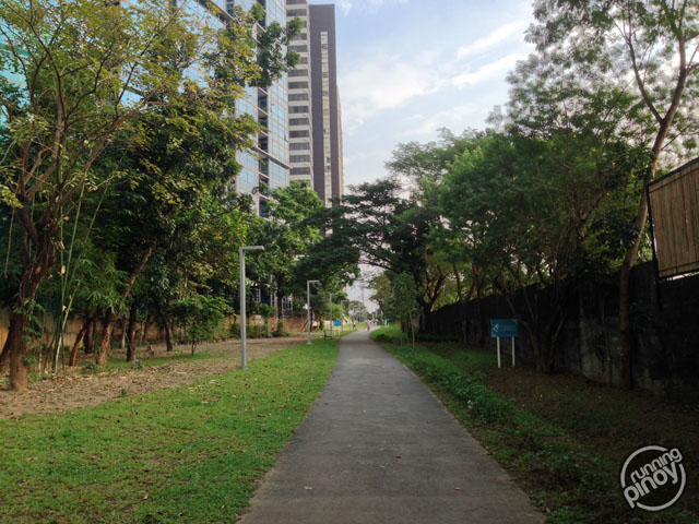
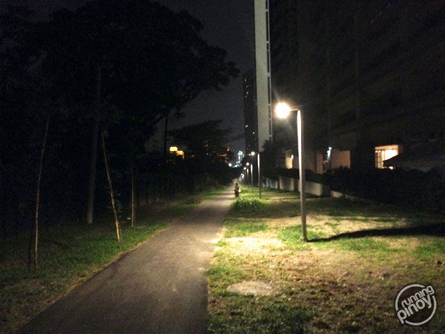
The Greenway Park is an excellent place for running as the pathway is made of asphalt with no obstructions and has greenery all around. It poses some challenge as well since the terrain is generally uphill going south. Right now, the park is already lined with lamps so it remains lit even at night and there are some benches along the pathway. Most of the park though is narrow, practically just a few meters wide in some parts, but it gets wide in some sections, most notably near The Icon Residences where the park opens out to de Jesus Oval. The area near The Beaufort serves as another entry point into the park.
Even if the Greenway Park is still not completed, I’m already loving it as aside from having good running grounds away from the smoke of vehicles, it also provides an excellent shortcut going to places in this side of BGC! And you also get to see dogs—a lot of dogs of all kinds of breeds being walked by their owners and caretakers. Apparently, this park is also dog-walking central!
(14°32′42.9″N 121°02′43.3″E)
Thank you BGC and FBDC for this lovely new park! I’d love to see how it would look like when it’s completed and I hope it stays clean and green (that’s also for all of us who will be using the park). Hope to see more parks like these spring up in the Metro soon.
